Historic Preservation Planning
New South Associates (NSA) provides Historic Preservation Planning including planning and assessments, impact statements, and GIS services.
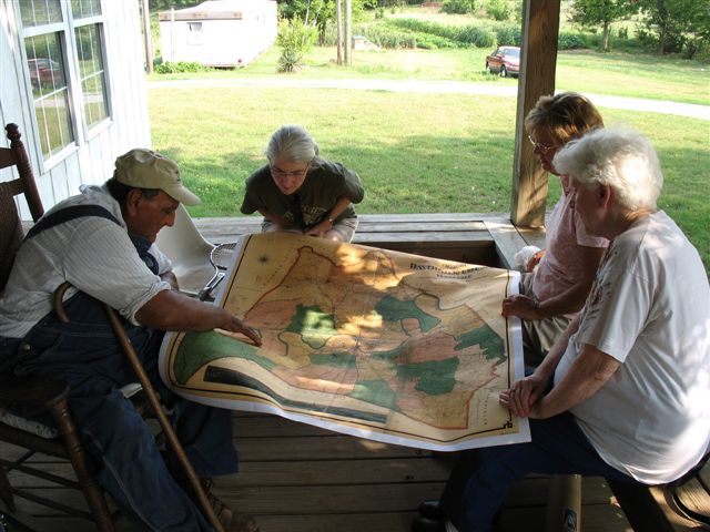
It is often important to consider the past when planning for the future. Historic resources and archaeological sites are critical elements of the cultural environment, and land planners and others recognize the importance of heritage sites to community planning, development, parks, and interpretation.
Historic preservation planning is also conducted by federal agencies tasked with the management of large landholdings and is incorporated into other studies and planning activities.
Historic Preservation Planning Services
Cultural Resource Management Plans
Integrated Cultural Resource Management Plans (ICRMPs) are five-year plans for the Department of Defense (DoD) that outline their compliance with the National Historic Preservation Act. An ICRMP is considered a component of an installation’s Master Plan and forms the basis for cultural resource management and compliance decision-making for the installation commander. These documents typically include the legal requirements for CRM, a list of proposed projects, a summary of previous CRM work and existing cultural resources, a plan for identifying historic properties, planning for artifact curation, providing access for American Indian tribes to their sacred sites, and an estimate of the resources required to implement the plan. Historic Preservation Management Plans (HPMPs) are similar to ICRMPs and serve as guiding documents for federal and state agencies and other organizations. NSA has prepared dozens of ICRMPs and HPMPs and understands how important they are for planners.
Environmental Assessments and Impact Statements
The National Environmental Policy Act defines different levels of analysis that are required for federal projects. These studies include Environmental Assessments (EAs) and Environmental Impact Statements (EISs) that identify important natural and cultural resources that might be impacted. NSA routinely supports environmental engineering firms and federal agencies in the development of EAs and EISs. NSA staff gather existing inventory data on historic properties, coordinate with agencies and tribes, prepare, and submit documentation for review, and engage with the public.
GIS Services
Identifying accurate locations of historic properties is important for their preservation and interpretation. NSA offers an extensive array of Geographic Information Systems (GIS) services to support its staff in integrating analyses and geographic data. GIS is a powerful research tool for that can process large datasets to answer a range of questions. GIS data can be derived from such diverse sources as aerial photographs, satellite imagery, and geologic, soil, and topographic maps. After collecting these datasets, NSA staff can then create GIS models such as viewshed analysis of the built environment and predicting the locations of archaeological sites.
City and County Contexts
The best way to determine the significance of any archaeological or architectural site is to place it into its proper context. What are the historic themes important to a community and what are the resources associated with these themes? These topics can be answered with thorough research of the history of a community and its changes over time. NSA is skilled in analyzing the history of a city or county and its built environment, using the current landscape and architectural features of a community to determine the historic context for a site. These contexts are used by city and county governments, local planners, interested citizen groups, historic preservation professionals, non-profit historical societies, and state government agencies such as the Departments of Transportation and the State Historic Preservation Offices.
Traditional Cultural Property Studies
Traditional Cultural Properties (TCPs) may include a broad array of both natural settings and cultural constructions that are associated with a living culture or community identity. The beliefs that make a location significant can include spiritual and religious practices, historical associations, or continual land use practices that bond a natural landscape and a community. NSA and its staff have completed many TCP evaluations, including work with Native American, African American, and European American communities and including the evaluation of religious sites, natural landscapes, historic towns, and cemeteries.