Providing Perspectiveson the Past

New South Associates
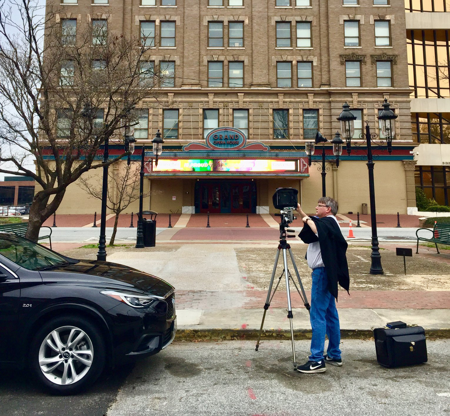
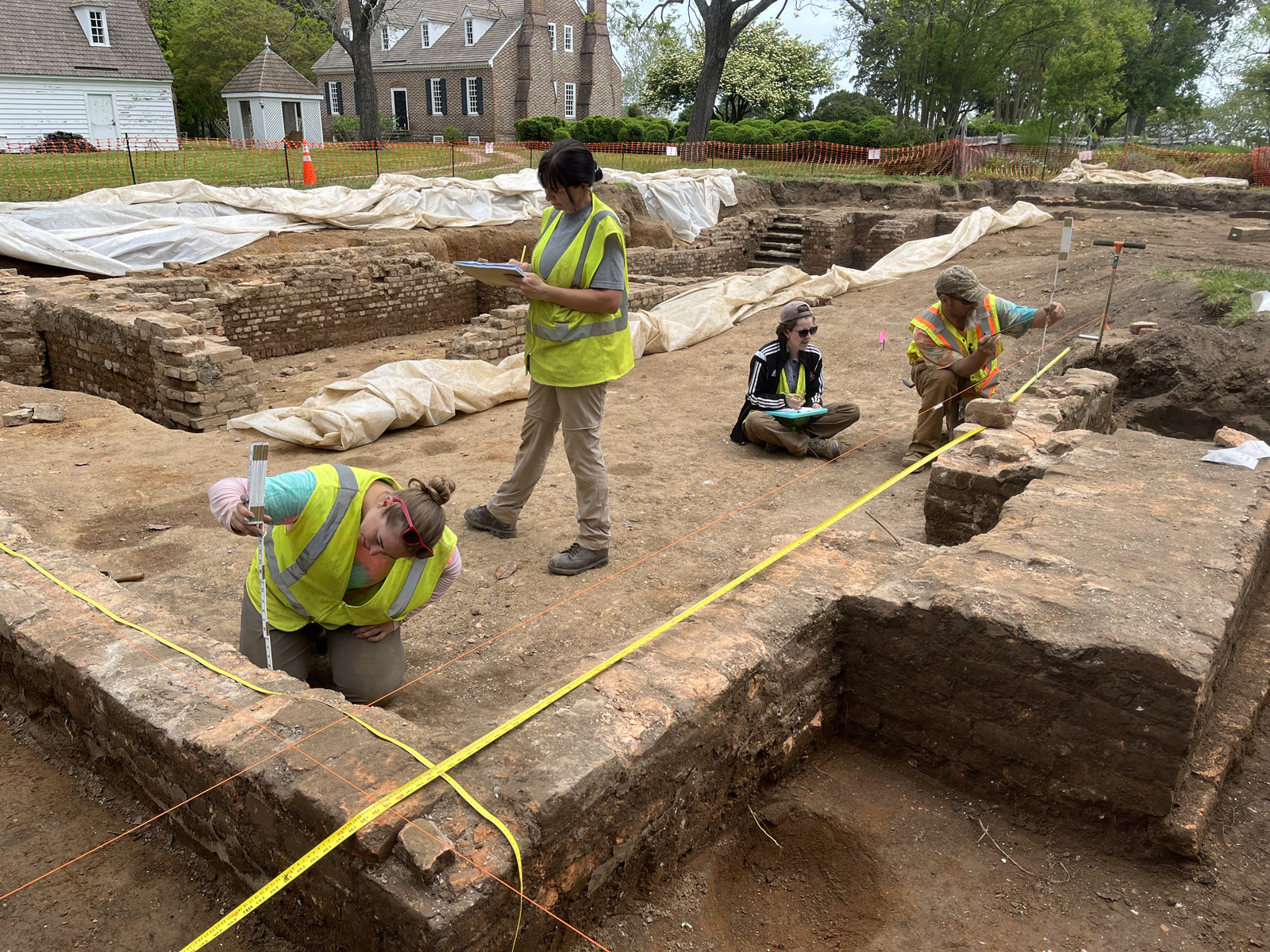
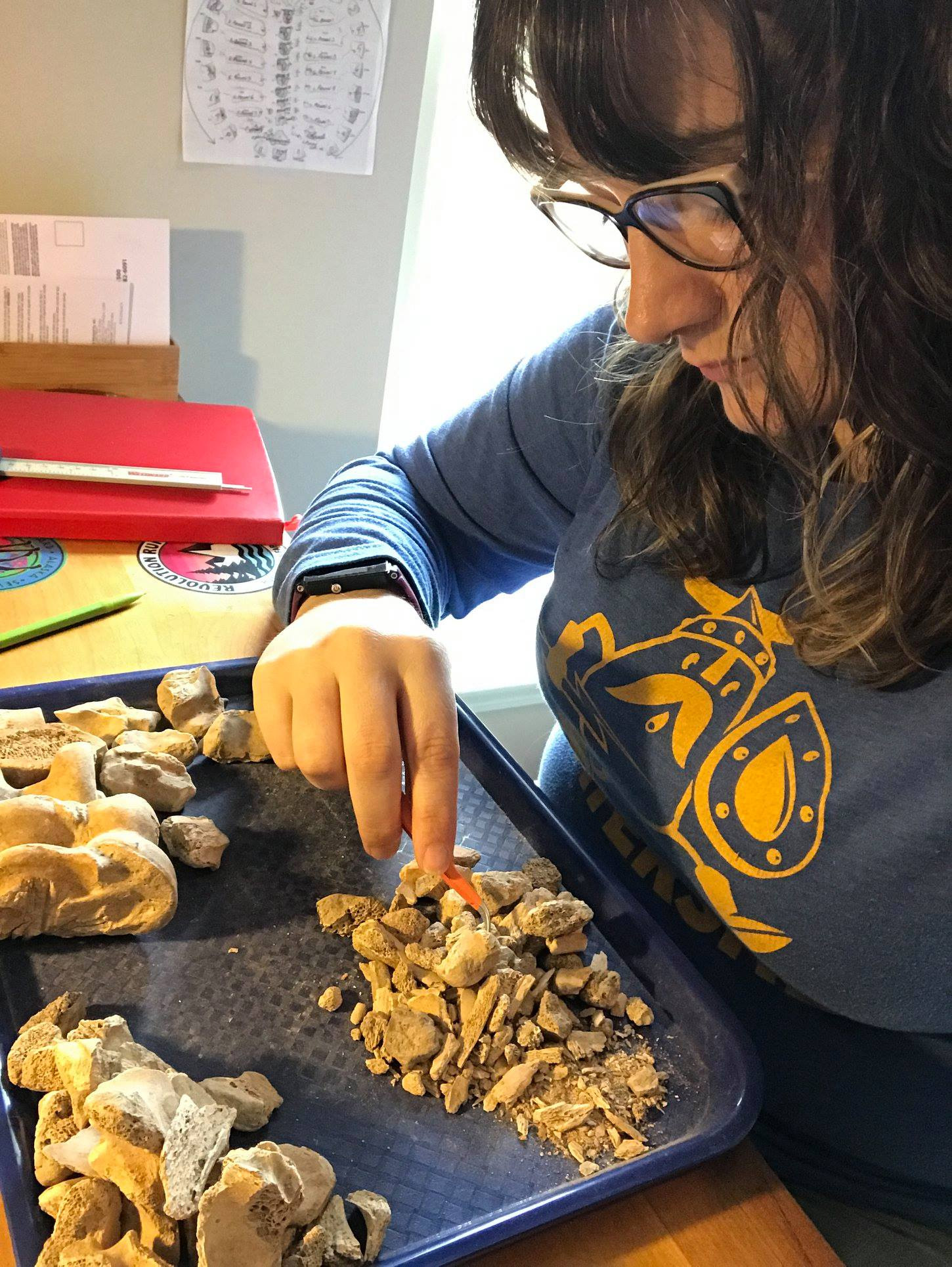
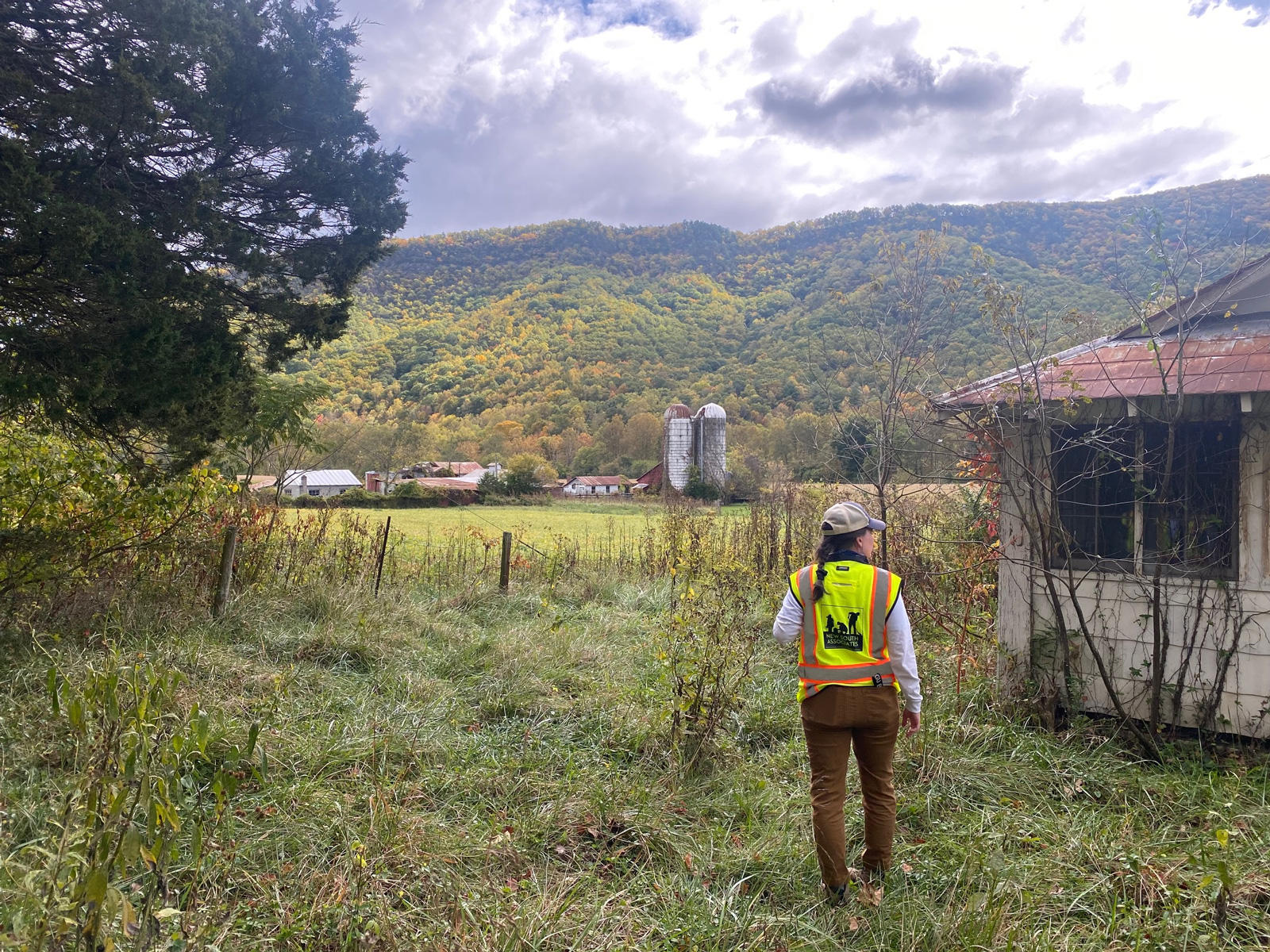
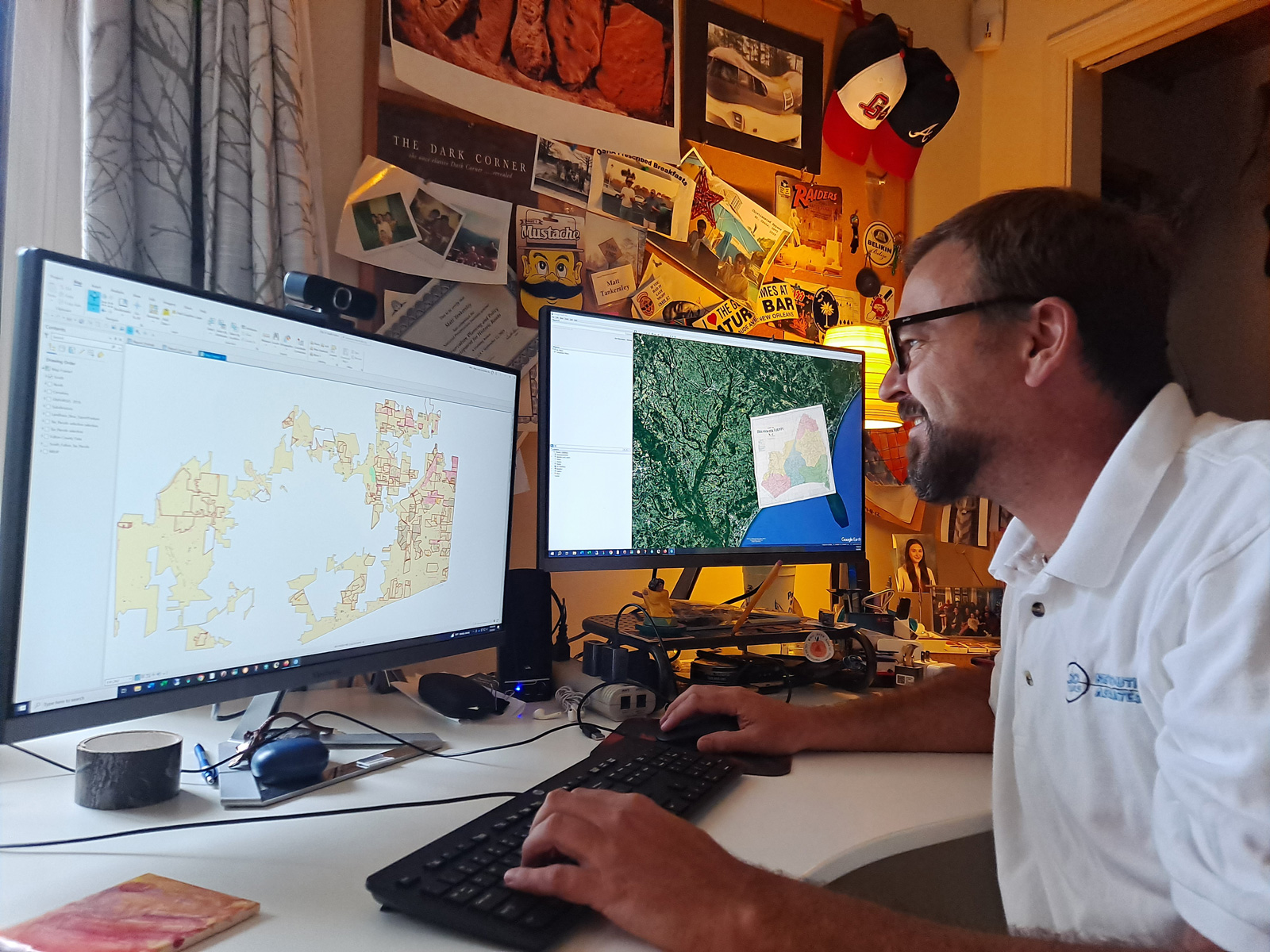
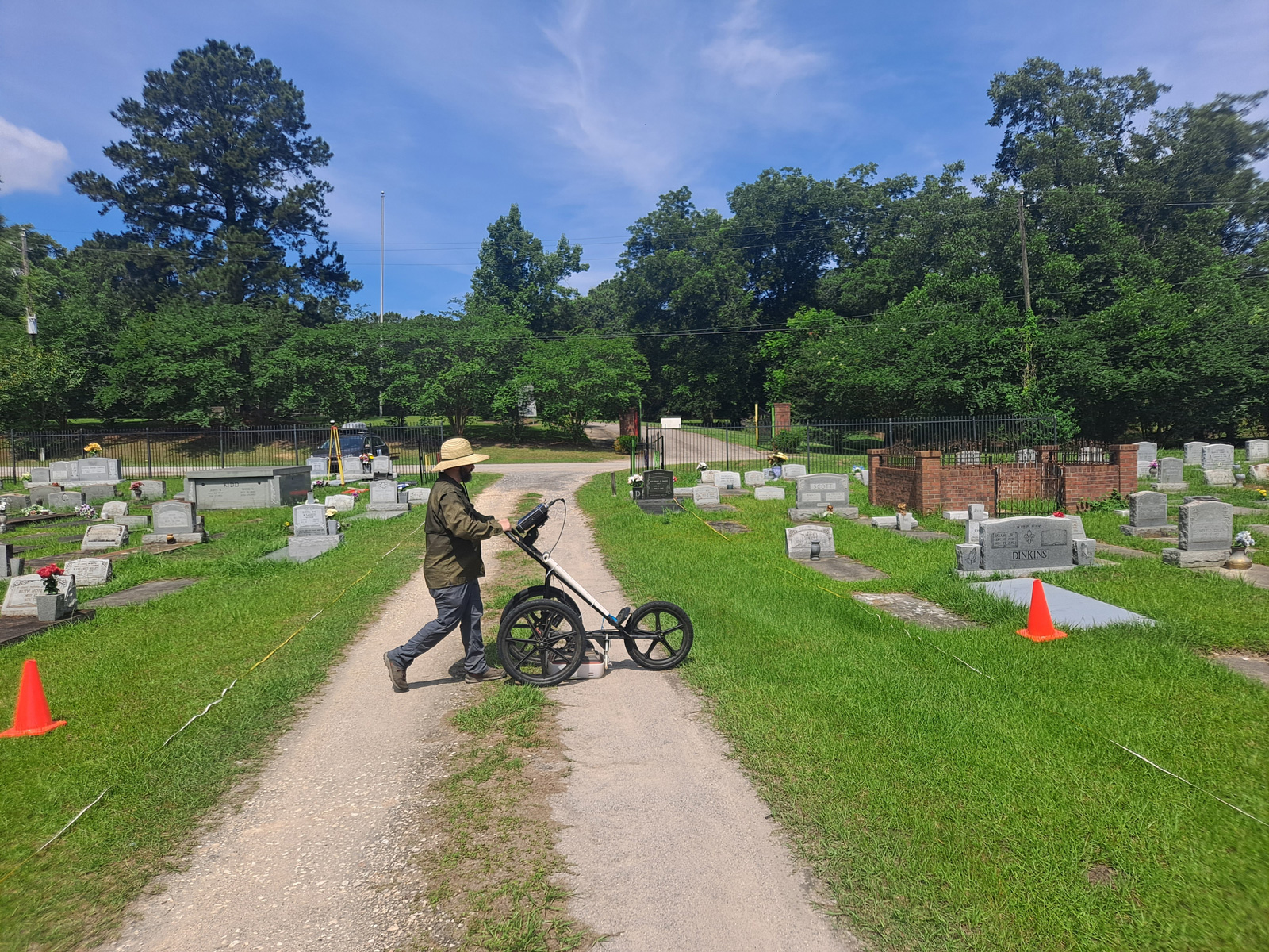
is a women-owned cultural resource management firm established in 1988. Our team has expert knowledge of historic buildings and structures, archaeological sites, cultural landscapes, historical records, cultural artifacts, and other resources from the past. New South Associates has the expertise and technological tools to deliver technically accurate, sound studies to ensure compliance with the National Historic Preservation Act.
Widely Recognized as One of the Leading Cultural Resource Consultants in the U.S.
For over 35 years, New South Associates has worked with federal, state and local governments, historic preservation offices, private organizations, federally recognized Native American tribes, and individuals. Our decades of experience make us experts in assisting clients in complying with requirements of the National Historic Preservation Act and other historic preservation needs including:
Compliance with Section 106 of the National Historic Preservation Act
Using cutting-edge technological tools to handle a large volume of work
Providing hands-on guidance in regulatory environments
Developing relationships with state offices to navigate regulatory waters
Delivering professionally prepared studies that will get you through the process the first time
Offering an interdisciplinary team of specialists in multiple cultural areas including archaeology and history
Capturing data in a fiscally responsible manner
Responding to deadlines, without sacrificing quality
Sharing research with professionals and the public
Our Services

We integrate studies of sites and structures of the past with planning and construction for the future.