
Land use histories are site-specific studies that identify the past uses of a property and the physical impress of those uses on the landscape. While New South Associates began its land use history program in response to environmental issues recognized in the Resource Conservation Recovery Act (RCRA) and the Comprehensive Environmental Response, Compensation, and Liability Act (CERCLA), we have expanded this practice to include a broader array of uses such as: archaeological assessments, cultural landscape studies, and urban projects.
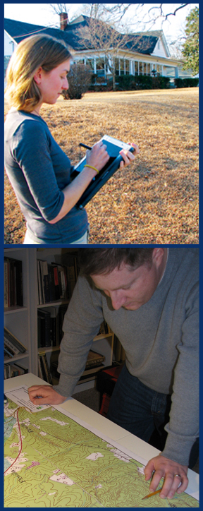 As the name states, land use histories are designed to determine how a property was used and modified over time. Land use studies are meticulously conducted using primary sources to supply information related to property usage over time, including deeds, plats, maps, photographs, historic aerials, and other sources. In both urban and rural contexts, primary sources help researchers determine past land use, the period of use, the length of time such usage was in place, and the names of and information about associated landowners and their neighbors. This research can identify the location of potential environmental contamination, as well as cut-and-fill processes that may affect archaeological site preservation and location.
Land use histories can be developed as stand-alone documents to outline the history and development of a property, and may also be incorporated into larger planning studies such as Historic Property Studies, Environmental Impact Statements (EIS), Integrated Cultural Resource Management Plans (ICRMPs), and Cultural Landscape Studies.